Launch Safety
Launch Safety Zones
Click zone for more information
Marine Access
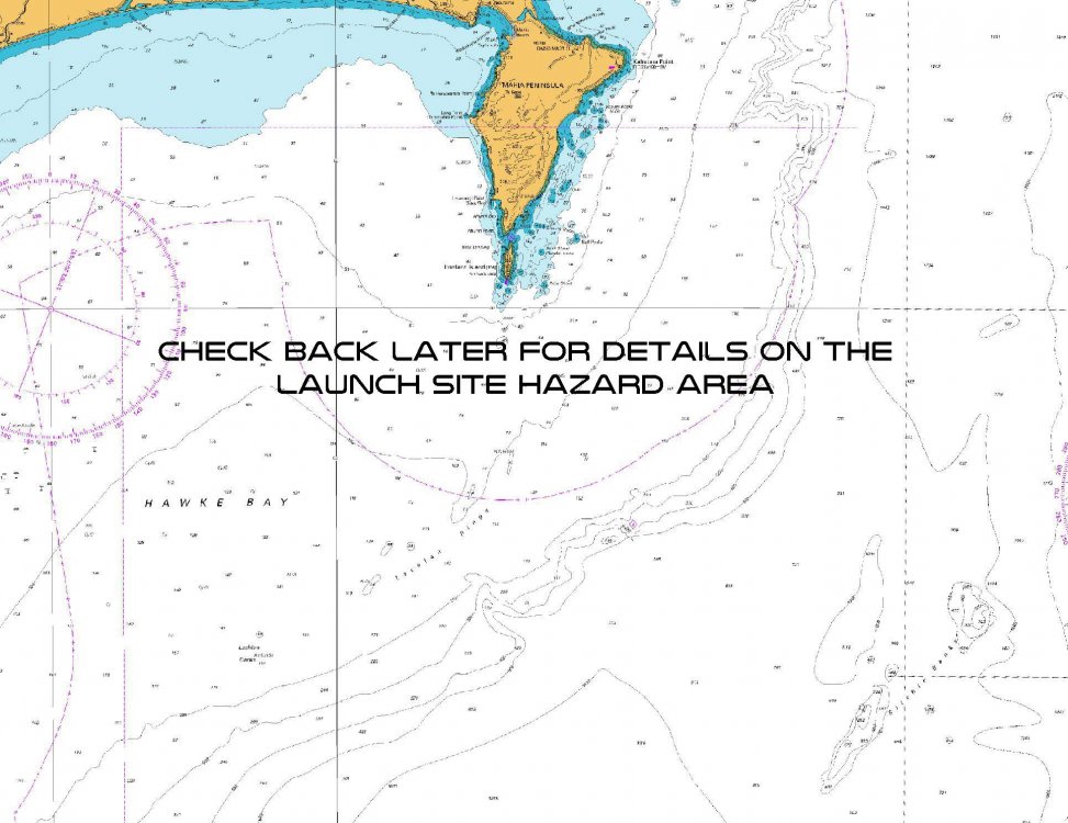
To ensure public safety, temporary hazard areas will be established during launch operations.
Any vessels intending to transit through an ACTIVE hazard area are asked to contact Range Control on VHF Channel 07 or Channel 16 when in the vicinity of Mahia Peninsula.
For the information of ships at sea, warnings of scheduled launches will be notified by:
(a) Continuous automated broadcast on VHF Channel 79 in the vicinity of Māhia Peninsula; and
(b) Napier Harbour Radio as part of scheduled hourly navigational warnings on VHF Channel 12.
For AIS equipped vessels temporary hazard area boundary points will be clearly marked with AIS Virtual Aids to Navigation while the zone is active.
Details of downrange region Space Debris Hazard Areas will be notified by Broadcast NAVAREA XIV navigation warnings via MF/HF Radio and EGC.
IMPORTANT: Follow the links below for additional information - this information should be read in conjunction with the information contained in this page:
Annual New Zealand Notices to Mariners, No.19
Navigational Warnings
If launch is delayed, a new date within the launch window period will be selected. The actual Launch time and targeted date will be made available on this webpage, and in addition live updates will be communicated via the social media channels displayed at the bottom of this page.
The diagrams depicted on this page are not intended for navigational purposes but are provided to assist with the correlation of textual information onto the relevant chart.

Road Access
If launch is delayed, a new date within the launch window period will be selected and road closures will be in place on the subsequent date. Live updates will be communicated on this webpage and via social media channels.
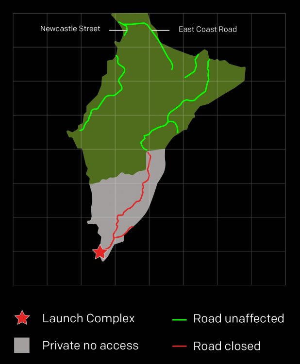
The safety zone on land is within the boundaries of privately-owned Onenui Station, including Portland Island (Waikawa). For safety reasons, there is no public access to the launch site.
Temporary road closures will be in place to ensure the safety of vehicles on Māhia East Coast Road, and the unformed Tawapata Road, on launch days. Permanent residents with identification are permitted to access their properties, but the public will be turned around at the closure point marked on Figure 1.

Air Access
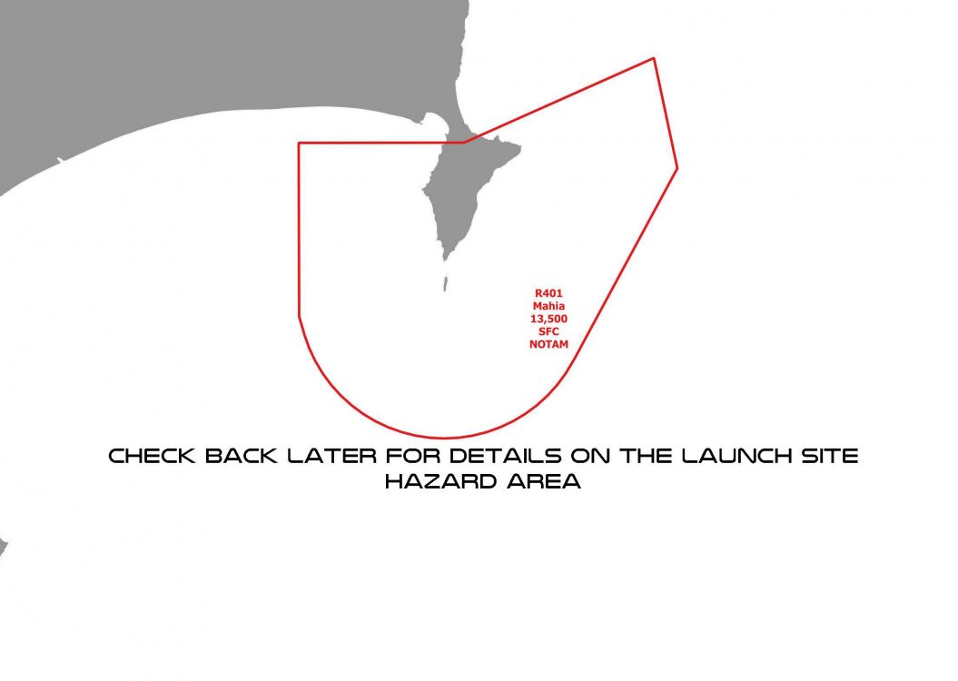
Air space is restricted over the launch site and the rocket’s projected flight path on launch days. The special use airspace is advised via a Notice to Airmen (NOTAM). Pilots are advised of any airspace changes via the Airways Internet Flight Information Service (www.ifis.airways.co.nz) The use of drones is not permitted during launch activity.
Subscribing to a notification area advised:
Flight Advisor (flightadvisornz.io)
Click here for official CAA Restricted Areas
Pilots are reminded to obtain up-to-date information on temporary hazards by adequate pre-flight briefings whenever possible.

Contact the launch safety team
During Launch Operations
PHONE: 028 2551 1638
VHF: Channel 07 & 16 while in the vicinity of the Mahia Peninsula.
Automated Broadcast: VHF Channel 79 broadcasts up-to-date Marine Safety Zone information 24/7.
Watch live
Live webcast available from T-30 minutes on launch day. Follow our social channels for real time launch updates.
For real time launch updates, follow Rocket Lab on X (Twitter) and Facebook.


